Somebody had to write down where they are.
Oscar Niemeyer built for seventy years across 12 countries, and no single list said where all of it stood. This is that list — 134 works, 115 of them placed precisely enough to walk to. It is free and it sells nothing.
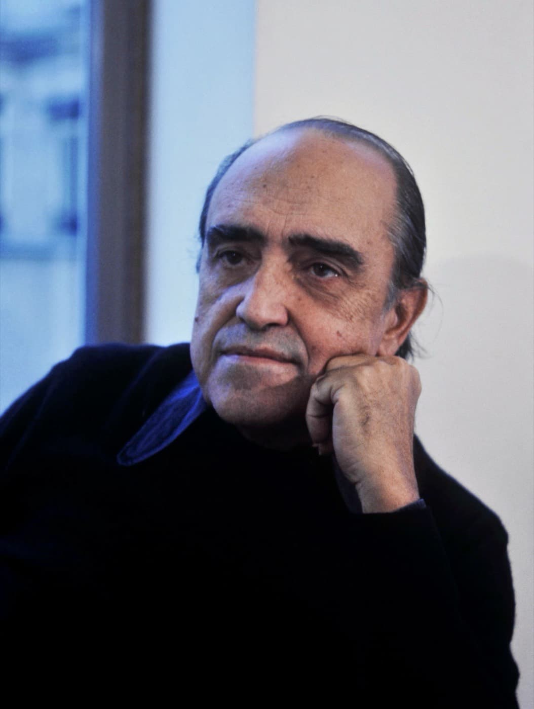

Oscar Niemeyer, 1907–2012
He was born in Rio de Janeiro and died there five weeks short of his hundred and fifth birthday, still drawing in the last year of it. His first work of consequence was Pampulha, built for a young mayor named Juscelino Kubitschek. When Kubitschek became president and decided to raise a capital in the empty centre of the country, he sent for Niemeyer again: Lúcio Costa laid out Brasília, and Niemeyer designed what stands on it.
He was a communist, and after the coup of 1964 he left for France. He worked out of Paris for two decades, came home in 1985, and won the Pritzker Prize three years later. What he said he was after was never the right angle. It was the free curve — the one he found in mountains, in rivers, in the body of a woman, and set in concrete because concrete was the only material that would hold it.
What this site is
A personal, non-commercial project, made and paid for by one person, for research and for going to see things. Nothing here is for sale. There is no advertising and no sponsorship. The site counts the pages people open, which is how I know whether any of this is being read; it is my own counter, it involves no other company, and it does not know who you are. The privacy page says exactly what that means.
The buildings are Oscar Niemeyer’s and the rights in them belong to his estate. If anyone representing the family or the Fundação Oscar Niemeyer would like something here changed or taken down, write to me and it will be.
Where the coordinates come from
An address turned into a coordinate by machine lands on a street, and a street can be a kilometre long. So the positions have been checked one at a time against OpenStreetMap and Wikidata, and confirmed by eye before being recorded. 115 of 134 works have been placed this way.
The other 19 are left off the map on purpose — private houses, works demolished before anyone wrote down precisely where they stood, and some simply not known well enough yet. A guess dropped on a map is worse than an honest blank.
Corrections
Some of this is certainly wrong. If you know a building, know where it really stands, or know that it has been demolished or renamed, please write — lucaspiccoliw@gmail.com.
Map tiles come from OpenStreetMap and dates from Wikidata. The privacy policy says what is stored about you, and the terms of use say the rest.